NUT PLAINS WOODS, GUILFORD CT

2 12 2025

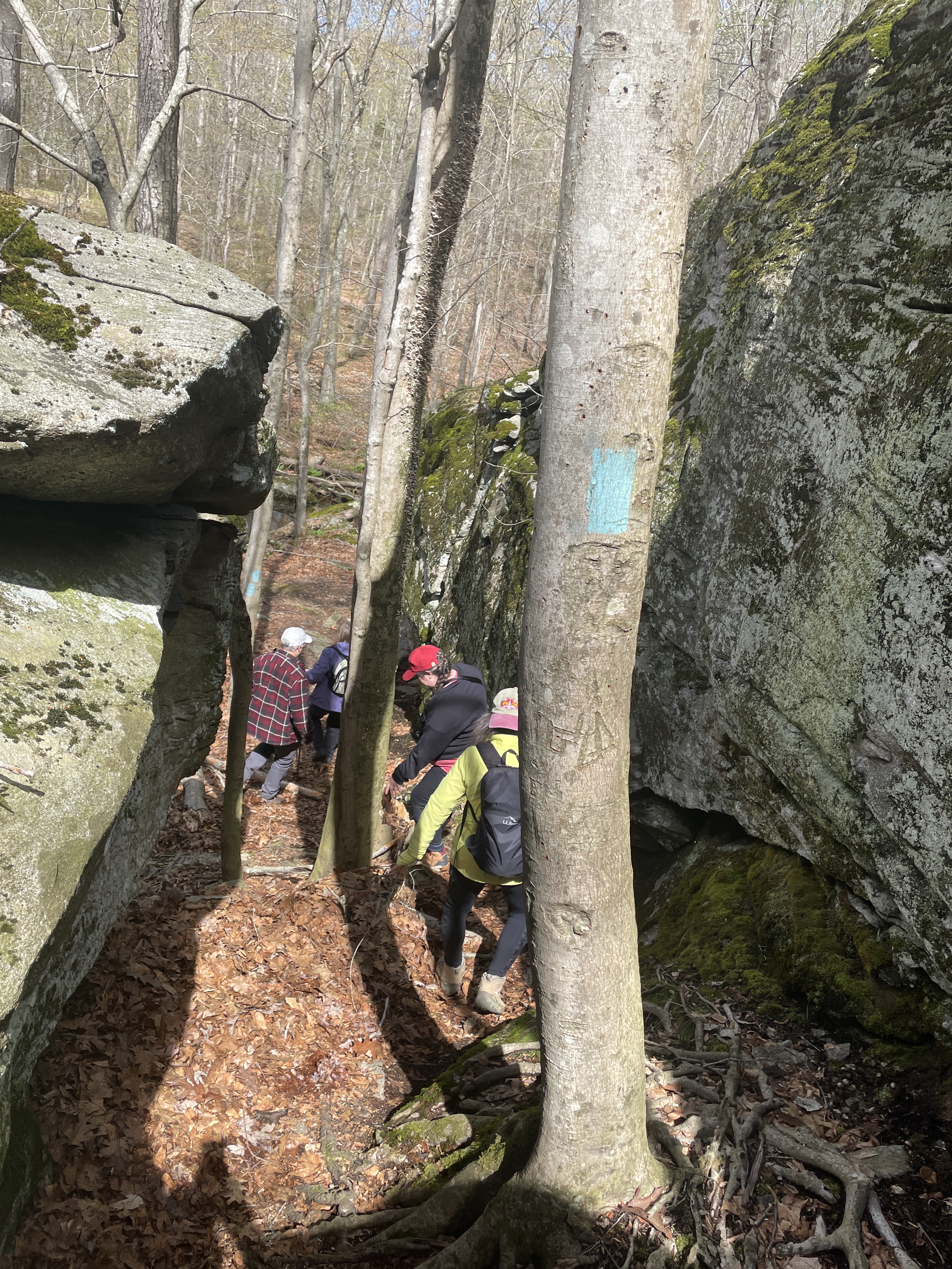
Photo credit: Guilford Conservation Land Trust

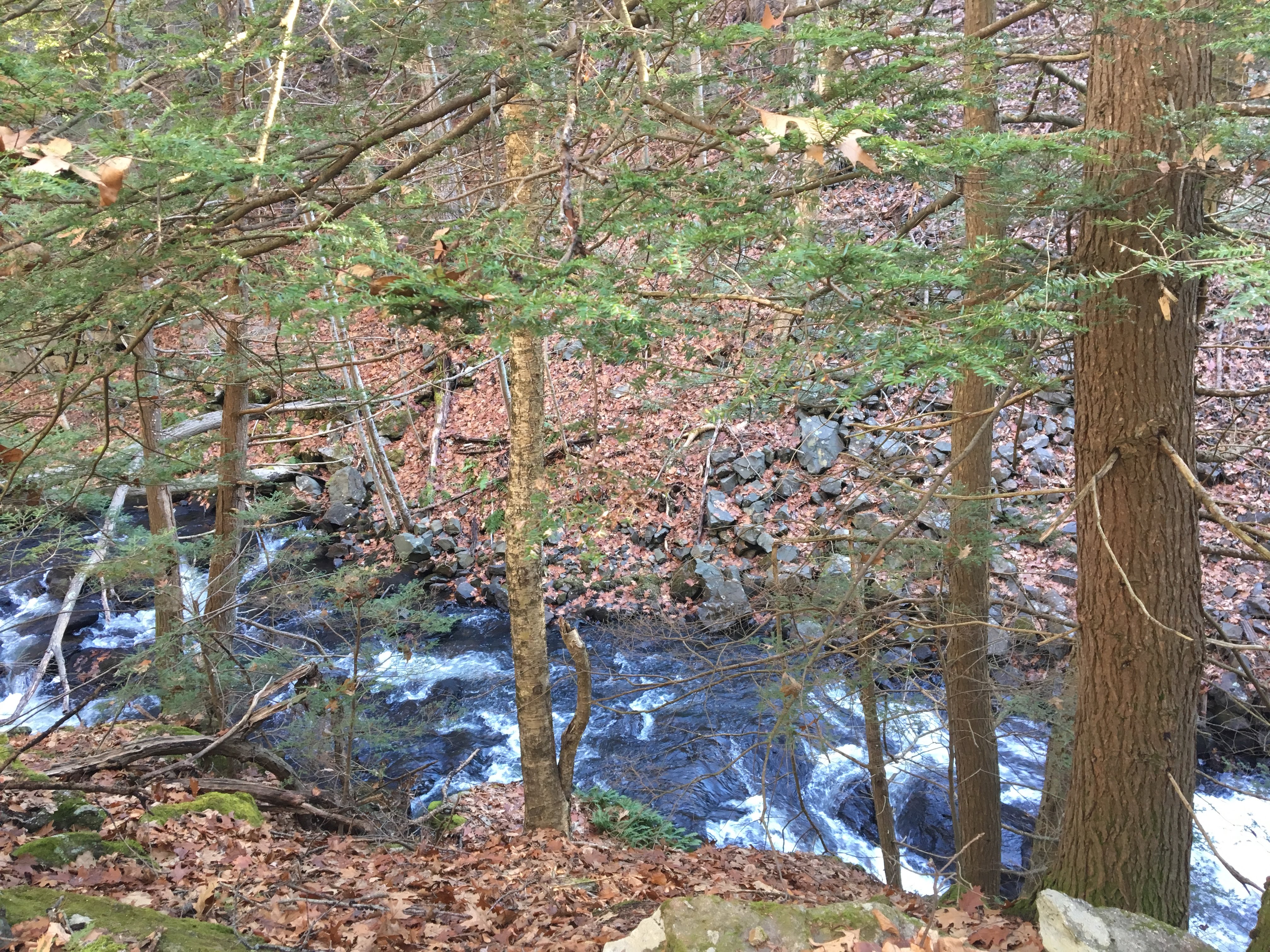
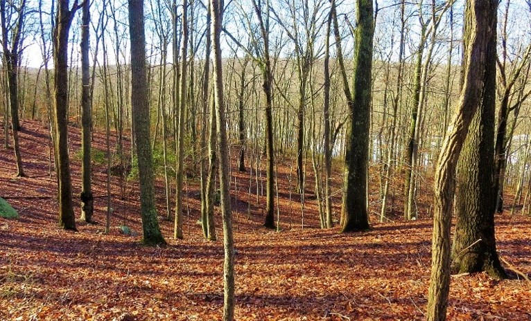
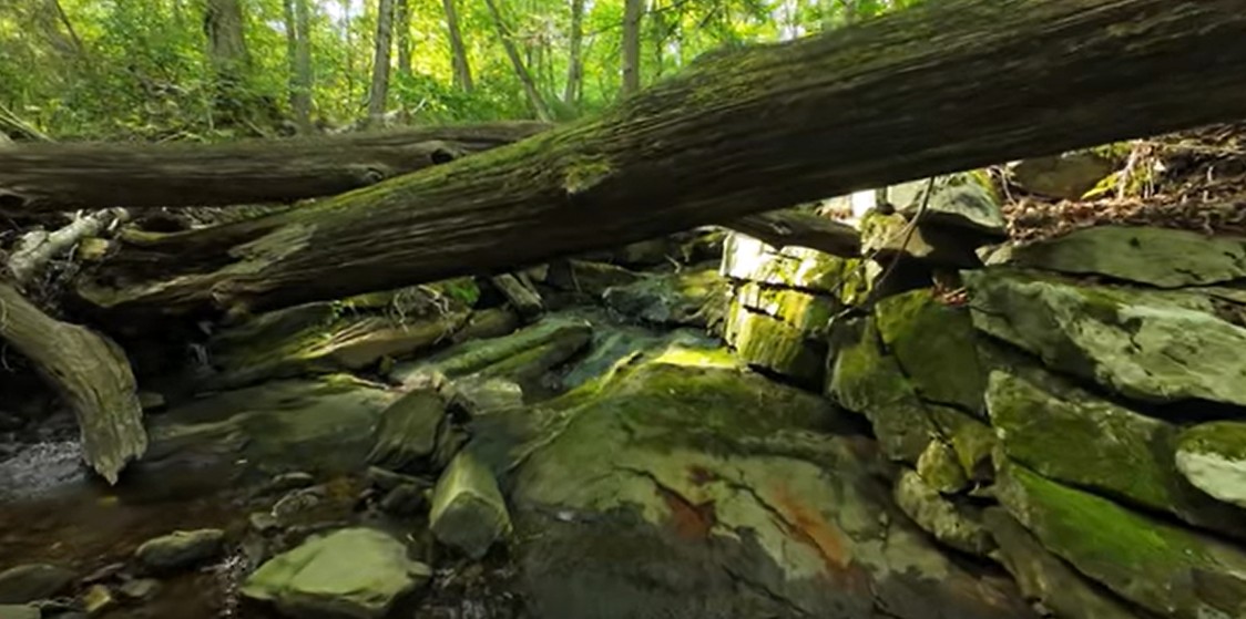
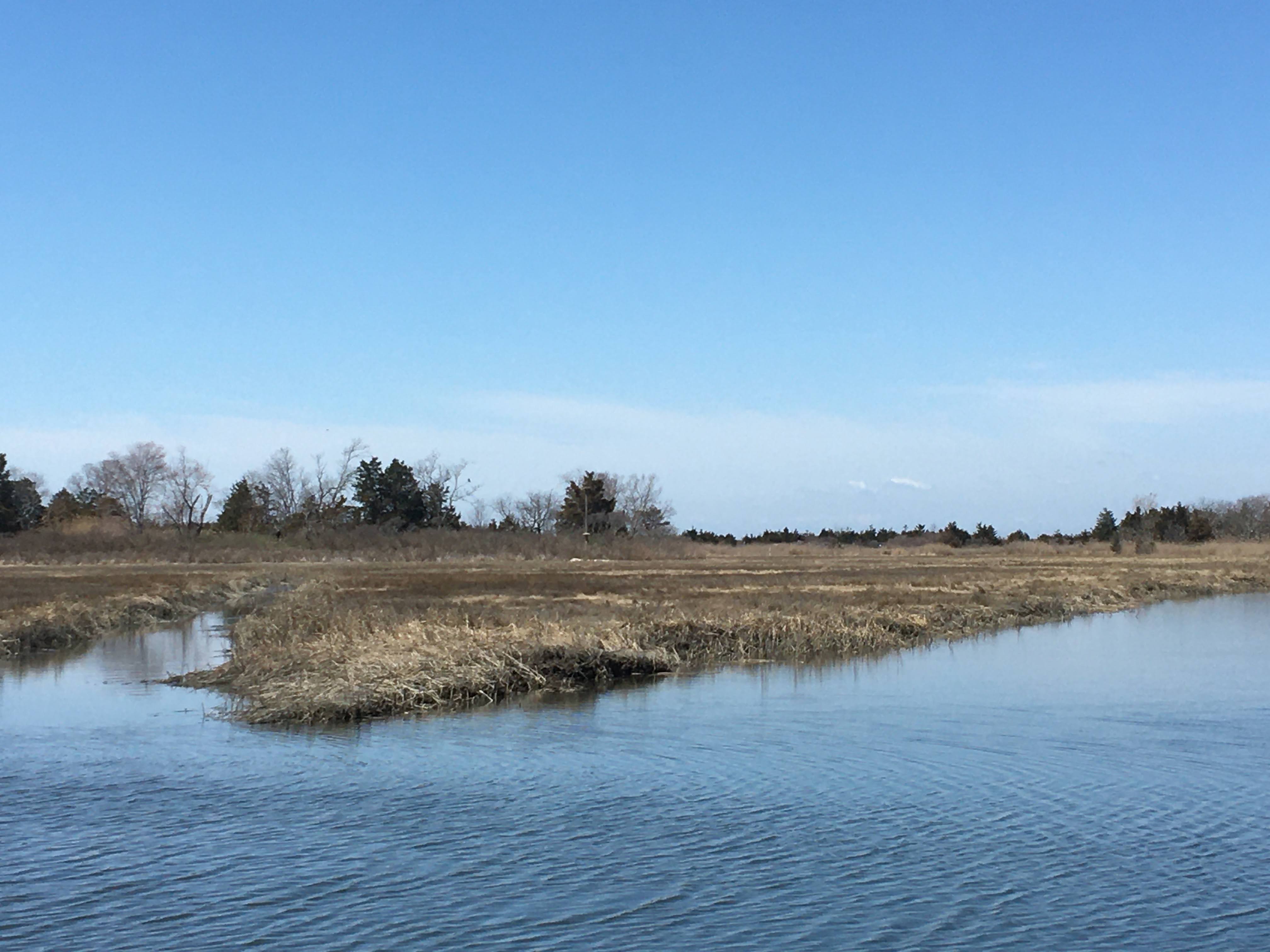
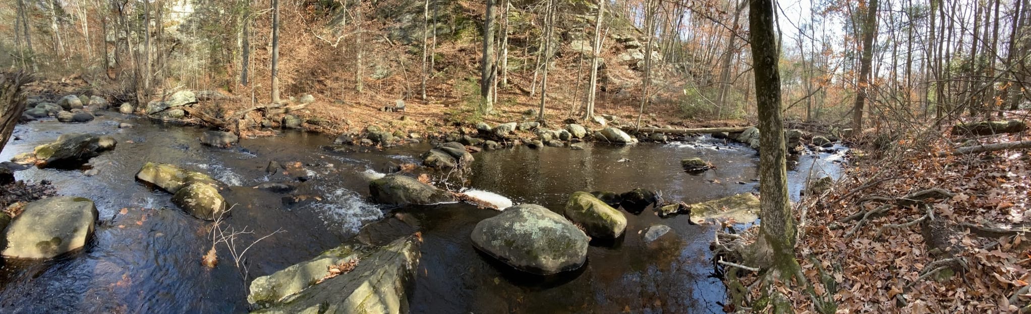
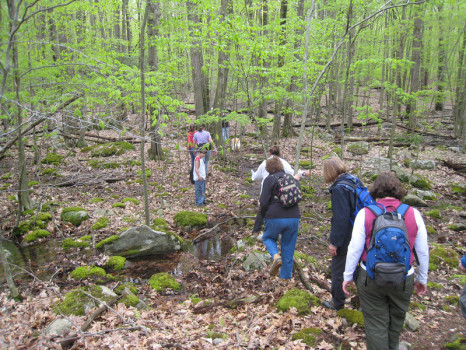
This 116-acre preserve, owned by the Guilford Conservation Land Trust, contains a number of trails that can lead to a longer walk by looping through all of them.

Descriptions, maps, and directions:  https://guilfordlandtrust.org/properties/nut-plains/

REMEMBER: Follow basic hiking guidelines: Wear good shoes, bring water and simple first aid kit, plus a copy/phone photo of trail map. Check the weather ahead of time, if you go alone, let others know where/when you’re going. All participation is at your own risk. Find a nearby restaurant or ice cream shop to reward yourself after your hike!

HIKING HINTS is a program of the MIDDLETOWN CT REC office. Follow them on Facebook.


HANCOCK BROOK TRAIL, WATERBURY CT

4 11 2025
Photo: B. Lapin

Hancock Brook Trail, located at the end of Sheffield Street in Waterbury, provides scenic views along its 2.8 miles of blue-blazed trail.

Descriptions, maps, and directions:  https://en.wikipedia.org/wiki/Hancock_Brook_Trail

REMEMBER: Follow basic hiking guidelines: Wear good shoes, bring water and simple first aid kit, plus a copy/phone photo of trail map. Check the weather ahead of time, if you go alone, let others know where/when you’re going. All participation is at your own risk. Find a nearby restaurant or ice cream shop to reward yourself after your hike!

HIKING HINTS is a program of the MIDDLETOWN CT REC office. Follow them on Facebook.


RATTLING VALLEY RIDGE PRESERVE, DEEP RIVER CT

9 10 2025

Photo credit: Deep River Land Trust

Rattling Valley Ridge trailhead begins on Essex Street near the bridge over Pratt Cove. It encompasses about 8 acres of wooded upland and connects the Florence Bidwell Sanctuary with The Nature Conservancy’s 6-acre Preserve bordering Pratt Cove.

Descriptions, maps, and directions: https://deepriverlandtrust.org/wp-content/uploads/2024/03/smyth-rattling-valley-ridge-bidwell-trail-map-page-size-3.pdf

REMEMBER: Follow basic hiking guidelines: Wear good shoes, bring water and simple first aid kit, plus a copy/phone photo of trail map. Check the weather ahead of time, if you go alone, let others know where/when you’re going. All participation is at your own risk. Find a nearby restaurant or ice cream shop to reward yourself after your hike!

HIKING HINTS is a program of the MIDDLETOWN CT REC office. Follow them on Facebook.


HIKING HINT: HARKNESS MEMORIAL STATE PARK, WATERFORD CT

9 09 2025
Photo: B. Lapin

This former estate is a shoreline jewel which boasts a small natural area named after Bill Niering, a professor at a nearby Connecticut College (no dogs in the natural area), sandy and grassy trails along a broad expanse of lawn that was a former golf course, a short stretch of beach available for fishing (no swimming), and immaculately maintained gardens. Monarch butterflies stop to nectar on their way south this time of year.

Descriptions, maps, and directions:  https://ctparks.com/parks/harkness-memorial-state-park

REMEMBER: Follow basic hiking guidelines: Wear good shoes, bring water and simple first aid kit, plus a copy/phone photo of trail map. Check the weather ahead of time, if you go alone, let others know where/when you’re going. All participation is at your own risk. Find a nearby restaurant or ice cream shop to reward yourself after your hike!

HIKING HINTS is a program of the MIDDLETOWN CT REC office. Follow them on Facebook.


KRUGER PRESERVE, HADDAM NECK CT

7 08 2025
Photo Credit: B. Bystrek

Owned by the Middlesex Land Trust, this fifty-acre parcel was a former dairy farm encompassing woodlands, a hayfield, wetlands, and a feeder creek to Pine Brook.  Wander through old fields and venture through a black birch groove, a brook with moss-covered rocks, and a small stand of mountain laurel.

 Descriptions, maps, and directions: https://middlesexlandtrust.org/preserves-maps/kruger-preserve-haddam-neck/

REMEMBER: Follow basic hiking guidelines: Wear good shoes, bring water and simple first aid kit, plus a copy/phone photo of trail map. Check the weather ahead of time, if you go alone, let others know where/when you’re going. All participation is at your own risk. Find a nearby restaurant or ice cream shop to reward yourself after your hike!

HIKING HINTS is a program of the MIDDLETOWN CT REC office. Follow them on Facebook.


HAMMONASSET STATE PARK, MADISON CT

1 07 2025
Photo: B. Lapin

Did you know there are hiking trails at Hammonasset? In addition to being a wonderful beach and having a first-class nature center, check out the paths available especially heading from the Nature Center. Climb a terminal moraine and learn what that is; stand on an observation platform over the salt marsh; stroll along a series of connecting paths to overlook the Hammonasset River. All are mostly level and easy.

Descriptions, maps, and directions:  https://ctparks.com/parks/hammonasset-beach-state-park

REMEMBER: Follow basic hiking guidelines: Wear good shoes, bring water and simple first aid kit, plus a copy/phone photo of trail map. Check the weather ahead of time, if you go alone, let others know where/when you’re going. All participation is at your own risk. Find a nearby restaurant or ice cream shop to reward yourself after your hike!

HIKING HINTS is a program of the MIDDLETOWN CT REC office. Follow them on Facebook.


ROCKY NECK SP, NIANTIC CT

3 06 2025
Photo: B Lapin

A gem of a 700+ acre state park, with miles of forest trails, beach access, fun boardwalk, and tunnels under the railroad, one of which crosses Bride Brook. See if you can find the flowering mountain laurel, our state flower, around mid-June.

Descriptions, maps, and directions: https://ctparks.com/parks/rocky-neck-state-park

REMEMBER: Follow basic hiking guidelines: Wear good shoes, bring water and simple first aid kit, plus a copy/phone photo of trail map. Check the weather ahead of time, if you go alone, let others know where/when you’re going. All participation is at your own risk. Find a nearby restaurant or ice cream shop to reward yourself after your hike!

HIKING HINTS is a program of the MIDDLETOWN CT REC office. Follow them on Facebook.


DEER LAKE OUTDOOR CENTER KILLINGWORTH CT

6 05 2025
Photo: B. Lapin

Deer Lake Outdoor Center boasts 250+ acres of hiking, camping, and water activities, with a glacial lake and larger Deer Lake. In addition to excellent presentations and summer camp, it is open to the public (when not conflicting with existing programs). Trails range in length and difficulty.

Descriptions, maps, and directions:  https://deerlakeoutdoors.org/ , https://deerlakeoutdoors.org/wp-content/uploads/2024/07/Deer-Lake-Outdoor-Center-Map.pdf

REMEMBER: Follow basic hiking guidelines: Wear good shoes, bring water and simple first aid kit, plus a copy/phone photo of trail map. Check the weather ahead of time, if you go alone, let others know where/when you’re going. All participation is at your own risk. Find a nearby restaurant or ice cream shop to reward yourself after your hike!

HIKING HINTS is a program of the MIDDLETOWN CT REC office. Follow them on Facebook.


HADDAM MEADOWS SP, HADDAM CT

29 04 2025
Photo: K. Hammerson

A jewel of a park along the Connecticut River, Haddam Meadows boasts an active boat launch, large open fields, and hidden trails at the south end. Swimming is dangerous here, so please don’t get lured by the enticing sand bars at low tide.

Descriptions, maps, and directions: https://ctparks.com/parks/haddam-meadows-state-park

REMEMBER: Follow basic hiking guidelines: Wear good shoes, bring water and simple first aid kit, plus a copy/phone photo of trail map. Check the weather ahead of time, if you go alone, let others know where/when you’re going. All participation is at your own risk. Find a nearby restaurant or ice cream shop to reward yourself after your hike!

HIKING HINTS is a program of the MIDDLETOWN CT REC office. Follow them on Facebook.


BUSHY HILL PRESERVE and PLATT PROPERTY, IVORYTON CT

22 04 2025
Photo: Alltrails

Managed by the Essex Conservation Commission, this 130-acre area has multiple trails and a variety of ecosystems, including reverting forest. The Bushy Hill Road entrance can be wet with recent heavy rains.

Descriptions, maps, and directions: https://www.essexct.gov/sites/g/files/vyhlif3116/f/uploads/bushy_hill_map_description_2021.pdf

REMEMBER: Follow basic hiking guidelines: Wear good shoes, bring water and simple first aid kit, plus a copy/phone photo of trail map. Check the weather ahead of time, if you go alone, let others know where/when you’re going. All participation is at your own risk. Find a nearby restaurant or ice cream shop to reward yourself after your hike!

HIKING HINTS is a program of the MIDDLETOWN CT REC office. Follow them on Facebook.